Not looking promising…
4-23-24. 5:20pm. This update is brought to you by Bahia Services and Rentals in Port O'Connor, TX https://www.facebook.com/BahiaServicesandRentals
While there is certainly time for things to change, as of this post time, our odds for rain in south-central and south Texas remain low this weekend. Based on the latest model runs, it looks like most of the activity will stay in central and north Texas from Friday-Sunday. The atmospheric cap will be strong over us, so it will be hard for any storms to form…the best chances will be in the northern counties of south-central Texas. On the positive side, there is a good chance that the storms that form this weekend will be severe, so if they stay to our north, we won't have to worry about our property getting nuked from large hail!
Looking further down the road, most of the models are looking bullish for a rain event later next week. Since that is still over 7 days, out, I’m not going to get excited yet.
Mark

This update is brought to you by Bahia Services and Rentals in Port O'Connor, TX https://www.facebook.com/BahiaServicesandRentals

An upper-level low will be over the Four Corners on Saturday, but will move NE over the weekend. This will send enough energy our way to aid in afternoon thunderstorm development, but most of the activity is forecast to stay to our north.
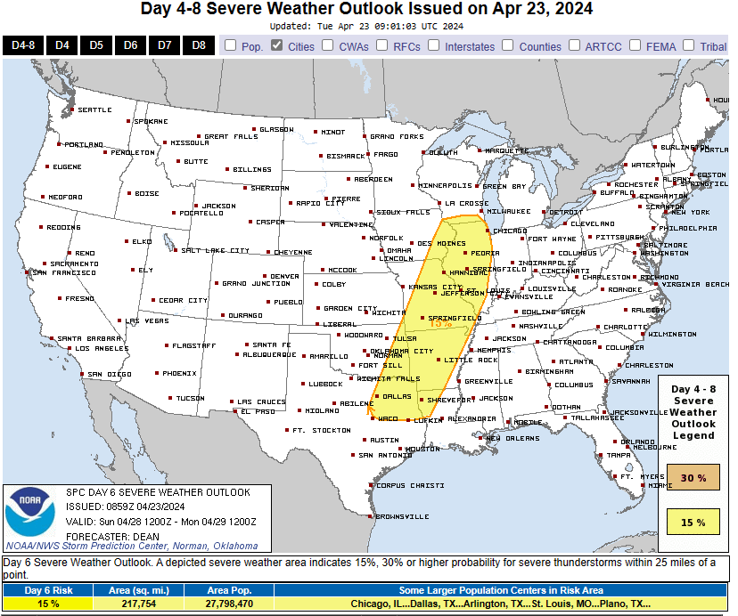
Here are the latest forecast graphics for severe weather chances from Friday-Monday from the Storm Prediction Center. Click on the images to enlarge.


Here is how much rain the latest models think will fall from Friday-Sunday. Click on the images to enlarge.


